
Cyclone Murasu Forms in Bay of Bengal, Aims at Andhra Coast
A depression over the Bay of Bengal is expected to become Cyclone Murasu and reach the Andhra Pradesh coast by Monday evening, less than a week after Cyclone Arnab hit the same coast.
Key points
- A depression formed over the southeast Bay of Bengal on Saturday, October 31, and India's weather office expects it to grow into a cyclonic storm within 24 hours and reach the west central bay…
- The system began as a low pressure area over the South Andaman Sea and strengthened into a well marked low and then a depression as it moved west northwest, the India Meteorological Department…
- The timing is the hard part.
A depression formed over the southeast Bay of Bengal on Saturday, October 31, and India's weather office expects it to grow into a cyclonic storm within 24 hours and reach the west central bay near the Andhra Pradesh coast by the evening of Monday, November 2.
The system began as a low pressure area over the South Andaman Sea and strengthened into a well marked low and then a depression as it moved west northwest, the India Meteorological Department said in its October 31 bulletin. If it reaches cyclonic storm strength, it will be named Murasu, a name proposed by India that means drum in Tamil. Later updates on Saturday put the crossing of the south Andhra coast between Monday evening and Tuesday morning, November 3.
A coast that has not dried out
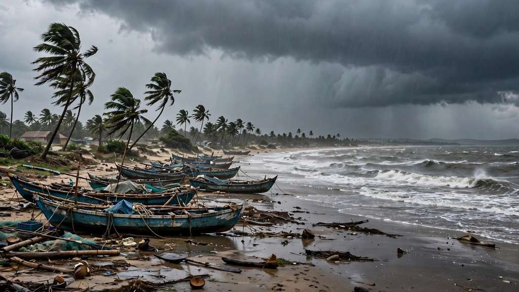
The timing is the hard part. Cyclone Arnab made landfall on the Andhra Pradesh and Yanam coasts on October 28, less than a week ago, and districts along that coast are still clearing damage to homes, roads and crops. A second storm arriving on the same shoreline gives repair crews almost no gap, and saturated ground takes new rain badly.
IMD Director General Mrutyunjay Mohapatra said the storm is expected to carry winds of 80 to 90 kilometres per hour, gusting to 100, if it reaches cyclonic strength. The department forecast heavy to very heavy rain over coastal Andhra Pradesh and Rayalaseema on November 2 and 3, with isolated extremely heavy falls, and heavy rain in southern Odisha on November 3 and 4. Heavy rain warnings also run for Tamil Nadu, Puducherry and Karaikal until November 5 and for Kerala and Mahe until November 4. Rough seas and winds of 30 to 40 kilometres per hour, gusting to 50, were forecast along the Andhra coast through November 1.
What officials are telling people to do
The IMD advised fishermen not to venture into the west central, southeast and central parts of the Bay of Bengal until at least Wednesday afternoon, and told boats already at sea to return to harbour. The forecast strength and exact landfall point are still moving between bulletins, and the department will update both as the system develops on Sunday.
What happens next
Sunday is the decision day. If the depression deepens into a cyclonic storm as forecast, it takes the name Murasu and coastal districts in Andhra Pradesh move from watching to preparing: boats in, low lying areas alerted, and relief teams repositioned for a second time in a week. The northeast monsoon, which set in over the region on October 15, is feeding the rain bands that will reach the coast well ahead of the centre.
Timeline
- Oct 15, 2026The northeast monsoon sets in over Tamil Nadu, coastal Andhra Pradesh and Kerala.
- Oct 28, 2026Cyclone Arnab makes landfall on the Andhra Pradesh and Yanam coasts.
- Oct 31, 2026A well marked low over the southeast Bay of Bengal becomes a depression; the IMD expects a cyclonic storm within 24 hours.
- Nov 2, 2026The system is expected to reach the west central Bay of Bengal near the Andhra Pradesh coast by evening.
- Nov 4, 2026The IMD advisory keeps fishermen out of the central Bay of Bengal until at least Wednesday afternoon.